Rosa Flores · 27 October 2026
Precipitation Trends in Upperdale Prompt Adaptive Farming Methods and Collaborative Educational Heritage Ventures
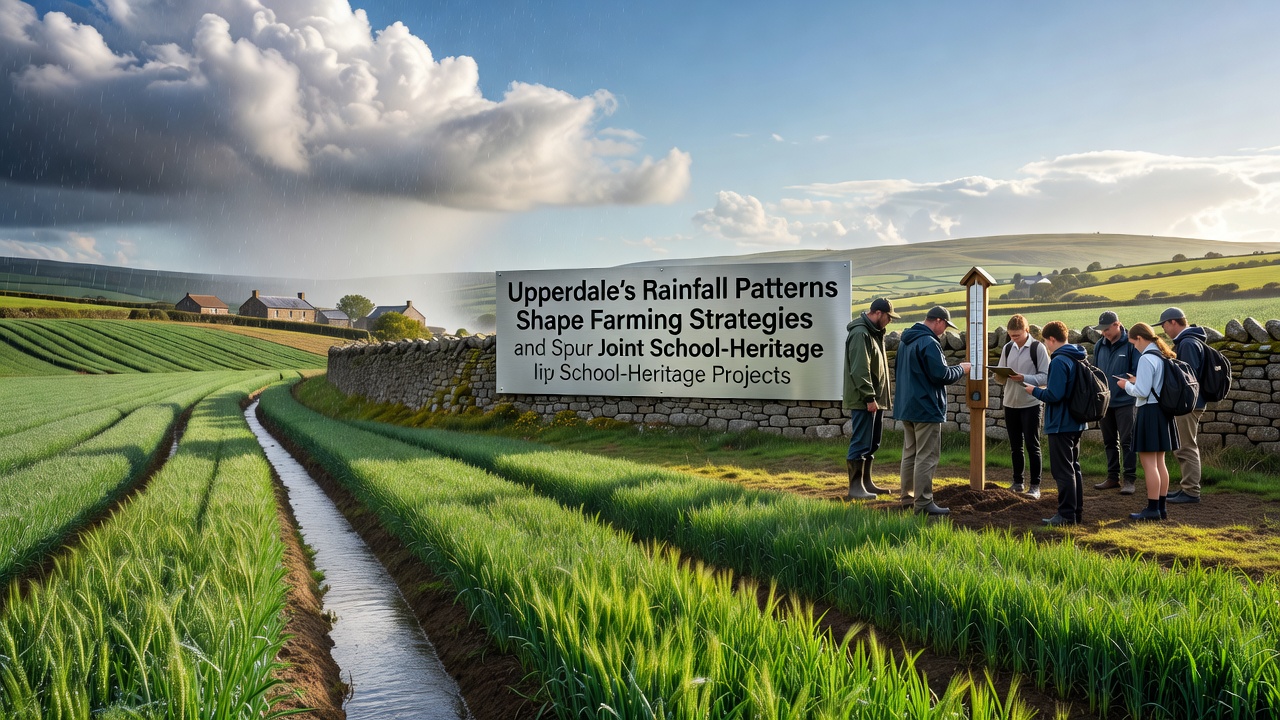
Upperdale has experienced measurable shifts in rainfall distribution over recent decades, with data from regional monitoring stations indicating an increase in intense downpours during autumn months alongside drier intervals in spring; these patterns have led local agricultural operators to adjust crop selections, irrigation setups, and field drainage systems accordingly. Farmers in the area report that heavier seasonal rains necessitate investments in improved water management infrastructure, while extended dry spells require careful timing for planting and harvesting cycles to maintain yields on crops such as barley, potatoes, and pasture grasses.
According to records compiled by the Met Office, average annual precipitation in parts of the Upperdale valley rose by approximately 12 percent between 1990 and 2020, with October events contributing a larger share of the total; this trend continues to influence decisions at farms where soil types range from heavy clay to lighter loams. Those managing livestock operations have incorporated rotational grazing schedules that account for waterlogged pastures during wet periods, reducing compaction and erosion risks that can otherwise diminish long-term productivity.
Adjustments in Agricultural Practices
Local growers now integrate weather forecasting tools more routinely into their planning, drawing on satellite imagery and ground sensors to predict runoff volumes and soil moisture levels before committing to sowing dates. One cooperative formed among Upperdale producers has pooled resources to install shared pumping stations along lower-lying fields, allowing excess water to be redirected during peak rainfall events in late summer and early autumn. These measures align with broader observations from agricultural extension services that link variable precipitation to changes in pest pressures and nutrient leaching, prompting greater use of cover crops to stabilize soil structure.
Data from the Australian Bureau of Meteorology on comparable temperate zones shows similar patterns where increased autumn rainfall correlates with higher incidences of fungal diseases in cereals, a finding that has encouraged Upperdale farmers to trial resistant varieties developed through regional seed trials. Field trials conducted over the past five years demonstrate that switching to deeper-rooted grasses in pasture areas helps mitigate waterlogging effects, while precision application of fertilizers timed to drier windows minimizes losses to waterways.
School and Heritage Collaborations Emerge
The same rainfall dynamics have prompted partnerships between Upperdale schools and nearby heritage organizations focused on historical water management techniques preserved at sites such as old mill leats and drainage networks. Students participate in mapping projects that compare Victorian-era flood control structures with current needs, gathering data on how past communities adapted to wetter conditions without modern machinery. These initiatives often culminate in joint exhibitions or restoration work scheduled around key dates, including activities planned for October 2026 that will document changes in local hydrology over the preceding century.
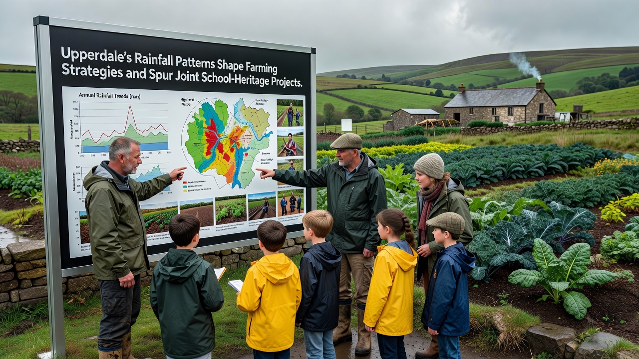
Teachers integrate rainfall records into geography and history modules, enabling pupils to analyze how shifts in precipitation have altered land use from the 19th century onward; this approach draws on archives held by local societies that detail crop failures during particularly wet decades. Heritage groups contribute expertise on traditional stone-lined channels still visible in several valleys, while schools supply volunteer labor for clearing and recording these features during supervised field days. The collaboration extends to digital documentation, where participants use GPS devices to log coordinates of surviving structures and overlay them against contemporary flood maps produced by environmental agencies.
One program launched in 2024 pairs secondary students with agronomists to test soil samples from heritage-adjacent plots, measuring compaction rates after heavy rain events and comparing results to historical accounts of similar conditions. Findings from these exercises feed into community reports that inform both farming adjustments and preservation priorities, creating a feedback loop where educational outputs support practical land management. External input from organizations such as the European Environment Agency has supplied standardized protocols for tracking precipitation impacts, allowing Upperdale participants to benchmark their observations against wider European datasets.
Integration of Data and Community Efforts
Monitoring equipment installed at several school grounds now contributes real-time rainfall measurements to a shared database used by both educators and farm advisors, reducing duplication of resources while building a longitudinal record that spans multiple seasons. Workshops held quarterly bring together representatives from agricultural cooperatives, heritage trusts, and teaching staff to review trends and plan interventions, such as targeted tree planting along watercourses to slow runoff during intense storms. These sessions emphasize measurable outcomes, including reduced sediment loads in streams and improved retention of topsoil on sloping fields.
Figures released by the Food and Agriculture Organization of the United Nations highlight that regions with coordinated school-community programs experience faster adoption of adaptive techniques when precipitation variability increases; Upperdale's model reflects elements of this pattern through its emphasis on hands-on data collection and cross-generational knowledge transfer. Participants note that involving younger residents in heritage documentation fosters continuity in understanding how earlier generations responded to comparable weather challenges, from constructing culverts to selecting flood-tolerant crops.
Conclusion
Upperdale's evolving rainfall patterns continue to drive refinements in farming operations while simultaneously generating opportunities for schools and heritage projects to work in tandem on documentation and adaptation measures. Records indicate that coordinated responses, supported by consistent data collection, have helped maintain agricultural viability and preserve historical features amid changing conditions. Activities scheduled through October 2026 and beyond aim to extend these connections, ensuring that insights from both sectors remain accessible for future planning.