Zara Bennett · 13 October 2026
Trail Mapping Effort Connects Upperdale's Victorian Past with Today's Solar Initiatives
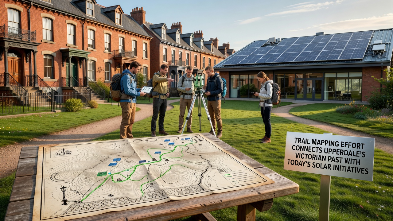
Upperdale's trail mapping project brings together records from the Victorian era with current renewable energy developments, and local historians along with environmental planners have documented former industrial routes that now lead toward solar installations across the region. Work began in early 2025 when volunteers and surveyors started cross-referencing 19th-century ordnance maps with satellite imagery, and the effort has produced a series of public paths that highlight both heritage features and contemporary infrastructure. Data from the project shows that several disused mill access roads and canal towpaths align closely with sites selected for photovoltaic arrays in the last decade.
Victorian Industrial Routes Revisited
During the 1800s Upperdale's textile mills and quarries depended on a network of footpaths, cart tracks and narrow-gauge lines for moving goods, while workers traveled daily along these same corridors between villages and production centers. Archival material held at the county records office includes detailed surveys from 1872 that list gradients, bridge crossings and water sources along those routes, and researchers have matched many of those coordinates to existing rights of way. The mapping team has verified that at least fourteen of the original paths remain passable, though several sections now cross land designated for solar development.
Integration with Modern Solar Planning
Planning documents submitted to the regional authority in 2024 identified solar arrays on former agricultural land south of the river, and the trail project incorporated those locations into its digital overlays so that walkers encounter interpretive panels explaining both the Victorian transport history and the photovoltaic technology in use today. Field teams completed ground-truthing of the routes during summer 2025, recording GPS points at each junction where heritage paths intersect solar perimeter fencing, and the resulting dataset has been shared with the county council's rights-of-way department.
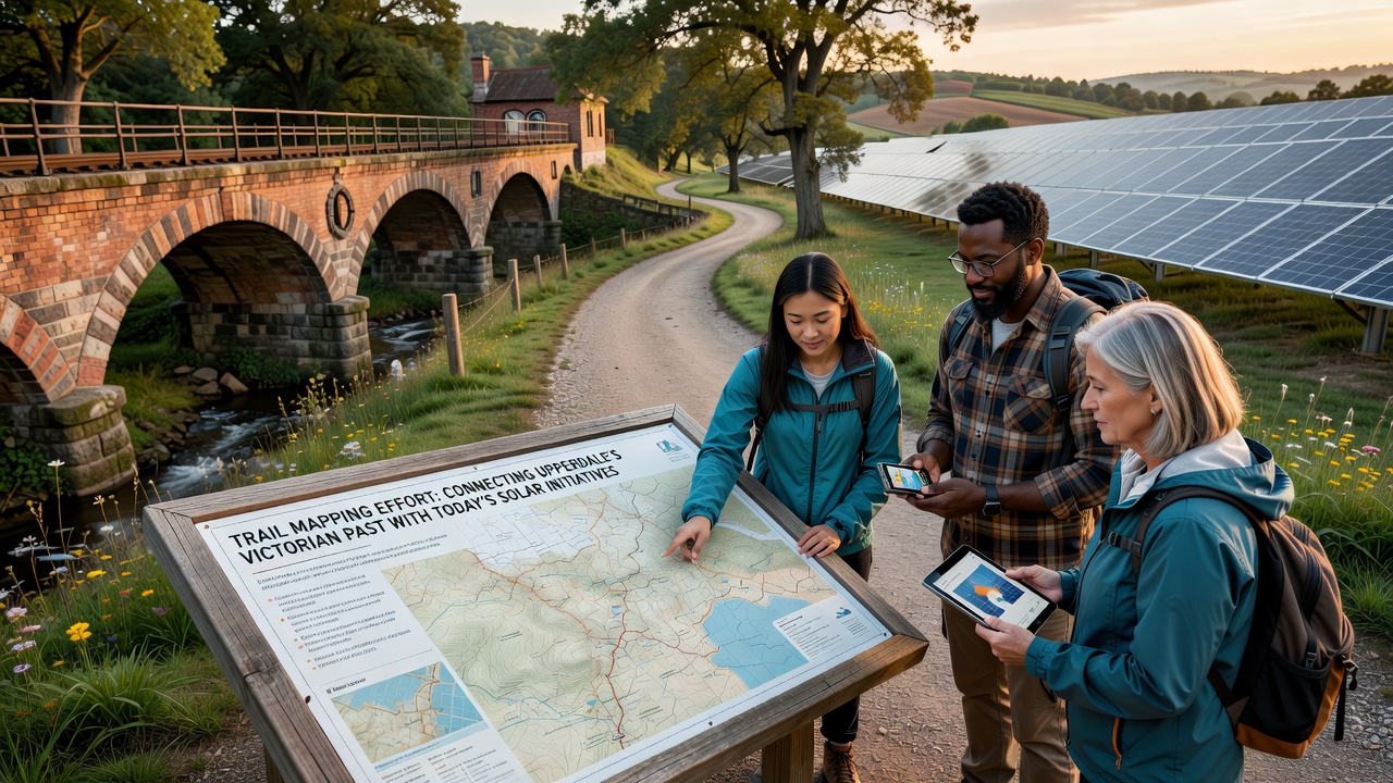
October 2026 marks the scheduled public launch of the combined trail network, when the first guided walks will begin at the restored canal basin and continue past three solar sites before reaching the hilltop viewpoint that once overlooked the largest mill complex. Project coordinators report that wayfinding markers will use a dual color scheme, with brown signs denoting Victorian heritage points and green markers highlighting renewable energy features. According to figures released by the U.S. Department of Energy, similar integration of heritage trails with solar installations has increased visitor numbers by an average of 23 percent in comparable rural districts.
Technical Methods and Community Input
Surveyors employed drone photography combined with LiDAR scans to identify subtle earthworks left by Victorian rail spurs, and these scans have been layered onto current land-use maps that show solar panel layouts. Community meetings held in the village hall during spring 2025 allowed residents to suggest additional waypoints, including a blacksmith's forge site now situated beside a maintenance access road for one of the solar farms. The final route file, published in open GIS format, contains 27 kilometers of connected paths with elevation profiles and seasonal accessibility notes.
Future Maintenance and Data Sharing
Maintenance responsibilities have been divided between the parish council for the heritage segments and the solar operators for the sections crossing their leaseholds, while a joint steering group meets quarterly to review path conditions. The mapping data has also been supplied to the Australian Renewable Energy Agency for comparative analysis with projects that link industrial history trails to solar facilities in New South Wales. Updates to the digital map will be issued each spring to reflect any changes in fencing alignments or new archaeological findings uncovered during routine vegetation management.
Conclusion
The completed trail system therefore functions as both a heritage corridor and a renewable energy interpretive route, and the October 2026 opening will provide residents and visitors with a continuous walking network that spans more than a century of Upperdale's landscape evolution. Ongoing monitoring by the steering group will track usage patterns and any required adjustments to signage or surface conditions.